As the world moves towards digitalization, most of our daily activities are becoming increasingly dependent on innovative digital and computer technologies.
This has implications for socio-economic, environmental, sustainable, and climate research applications, as well as the improvement of productivity and effectiveness in existing systems.
Smart surveying is the new normal in the globalized economy, and a new paradigm has emerged in recent years that has yielded significant results thanks to the advanced technologies used to solve many life challenges with smart thinking. Ghana’s economy has evolved in the last decade, with digital platforms and channels being used to deliver goods and services.
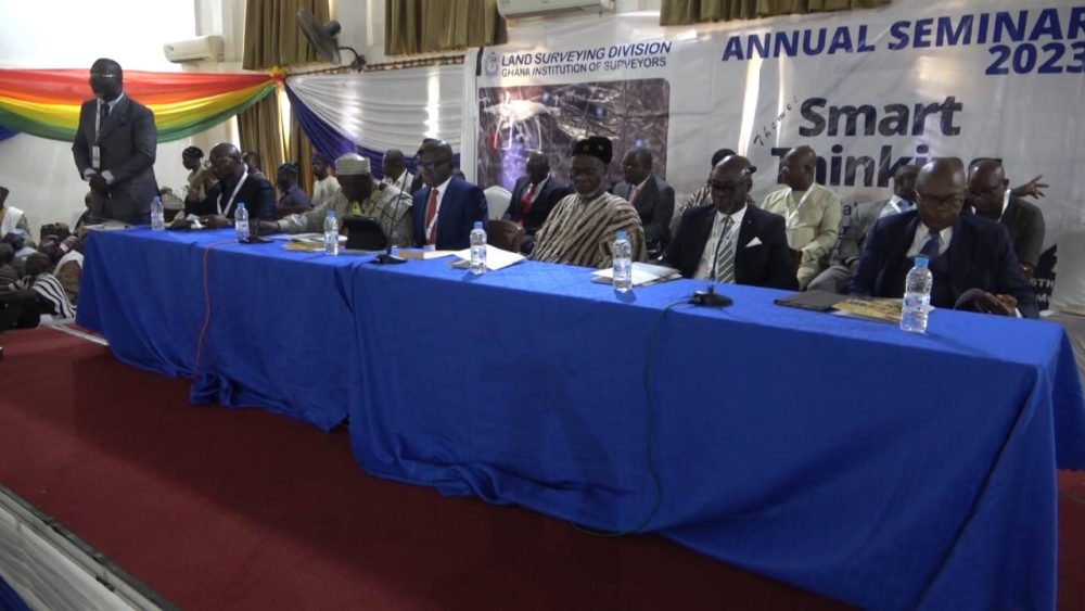
Against this backdrop, the Ghana Institute of Surveyors (GhIS) Land Surveying Division held its annual seminar in Tamale, Northern Region, to explore how the institute can adapt to these new developments.
The seminar was held under the theme “Smart Thinking: Geospatial Solutions for Ghana’s Digitalized Economy.”
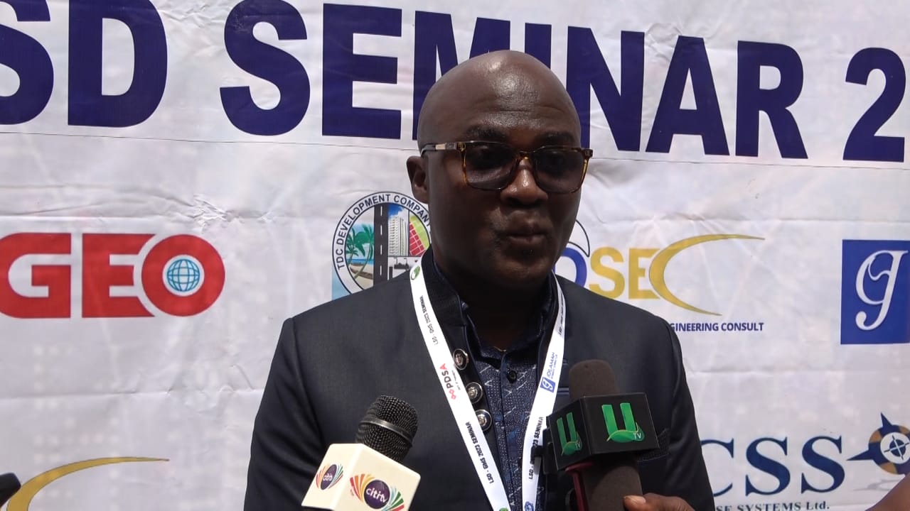
Speaking at the seminar, the chairman of the Land Surveying Division, Isaac Larbie, said it was time for surveyors to collaborate to ensure that planning schemes are properly implemented on the ground. He noted that many developmental challenges are due to a lack of planning in most areas, and that even where plans exist, they are often poorly executed.
“Ghana’s digitalization drive has become the bedrock of many developmental needs in the economy. The need for land surveyors to think outside the box, be innovative, and explore smart ways to integrate into the digital space of this economy cannot be overemphasized. In this digital era, geospatial technologies are revolutionizing the economy,” he said.
He called on the institute to be smart in their thinking, or they risk making mistakes.
He said that the importance of the profession is seriously underrated and unrecognized in society and that there is an urgent need to raise awareness of its value and to appreciate the use of its incredible attributes, critical mass of knowledge, and experience to help move the country forward.

Francis Manu Adabor, Member of Parliament for the Ahafo Ano South East Constituency and a licensed surveyor, underscored the importance of the seminar, saying that it is an opportunity to equip and prepare surveyors for the new direction.
“Today’s program is for surveyors to plan on how we can use our profession to help our country going forward. Geospatial is where we can have all our data and everything in digital format instead of holding big maps. You can put all your information on a pen drive, and then the information can also be transmitted to other places without any challenges,” he said.


